
Vegetation Management Intelligence That Turns Field Data Into Better Decisions
Arborcision™ is ACRT’s exclusive vegetation management intelligence solution, pairing AI with our independent UVM expertise at every step of the workflow, from field capture to completed work. Powered by Kanopy AI’s computer vision, Arborcision turns standard patrol video into a tree-level inventory, converts that inventory into risk-ranked priorities and optimized cycle plans, and carries those plans through to sequenced work orders and real-time progress tracking.
Vegetation Programs Are Paying for Blind Spots
Comprehensive ROW intelligence has always been the foundation of a well-run vegetation management program, and one of its most persistent challenges.
Costly capture. LiDAR flights and satellite campaigns carry deployment costs and logistics that limit how often a system can be assessed. Manual inspection is labor-intensive, time-consuming, and varies from inspector to inspector.
Cluster-level data. When a stand is treated as a single object, every tree in it can receive the same prescription, which creates unnecessary work, rework, and go-backs.
Months to insight. Long processing cycles leave teams making decisions based on last season’s conditions instead of what is happening now.
The result is that most utilities are managing programs built on incomplete, inconsistent, or expensive-to-collect data.
How Arborcision Works
Capture: Standard Patrol Video
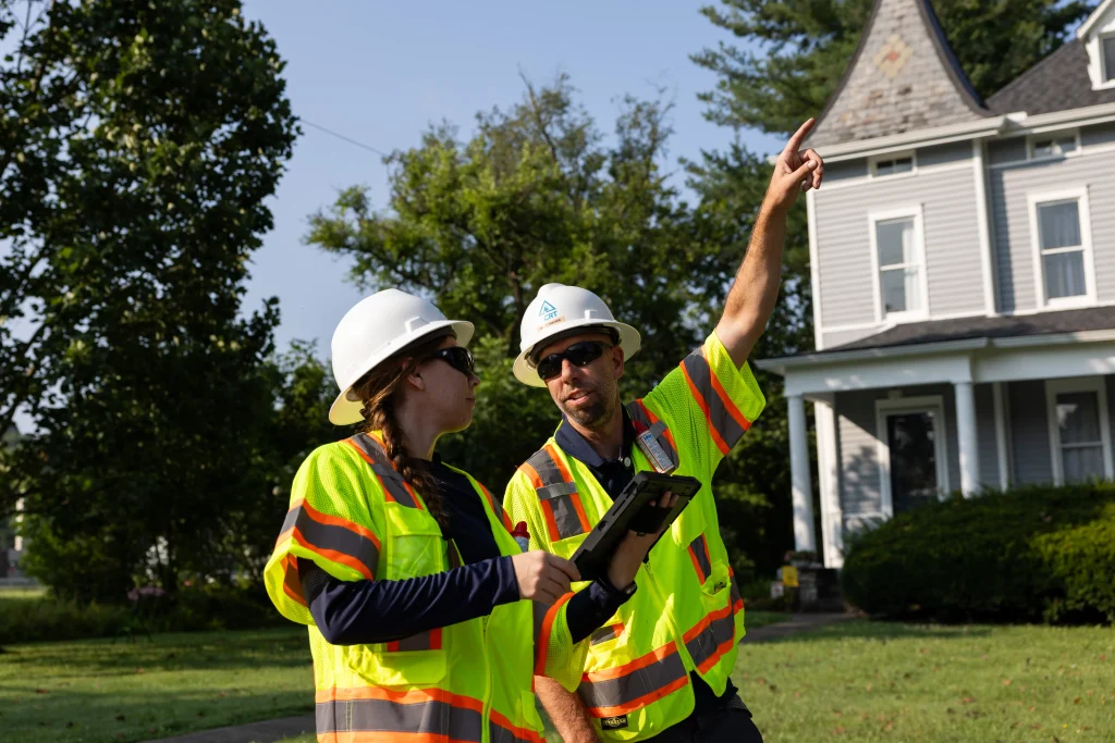
Our contract utility foresters collect georeferenced video using iPhones, GoPros, vehicle-mounted cameras, or drones during routine patrols. There are no LiDAR aircraft to schedule, no specialized sensors to procure, no additional truck rolls to budget for, and no separate data collection campaigns to coordinate alongside your existing operations. Capture scales with your patrol program rather than against it.
Analyze: Kanopy AI
Kanopy AI’s purpose-built computer vision processes that footage into a georeferenced, species-tagged tree inventory with clearance measurements and condition data for every tree along the line, plus a 3D digital twin of vegetation and electrical infrastructure.
Plan: ACRT Expertise
ACRT’s independent UVM experts validate and interpret the intelligence, turning it into risk-ranked priorities, trim and remove recommendations, optimized cycle plans, and documentation your team can defend.
Vegetation Management Technology Built for Individual-Tree Decisions
Arborcision produces a tree-level data set that goes beyond what traditional inspection methods and LiDAR-based approaches can deliver.
Tree-to-conductor distance. Measure how close individual trees sit to energized infrastructure, one of the most critical factors in determining risk and prioritizing mitigation work.
Species identification. Account for species-specific growth rates, failure potential, trimming cycles, and environmental considerations. LiDAR detects structure and shape but cannot identify species.
Growth tracking over time. Compare captures taken 12 or more months apart to measure actual growth rates, forecast encroachment, and improve scheduling.
Individual-tree analysis. Distinguish individual trees within dense stands and make asset-level decisions instead of applying one prescription to an entire cluster.
3D digital twin. View vegetation and electrical infrastructure together for risk analysis, patrol review, work planning, and regulatory documentation.
GPS-referenced inventory. Every tree is pinned to precise coordinates that support mapping, work order generation, and audit documentation across your system.
Independent Vegetation Risk Assessment and Cycle Planning
Generating precise ROW data is only half the challenge. Turning it into a plan utilities can execute confidently requires something AI alone cannot provide: independent expertise grounded in decades of real-world UVM program experience.
Risk-ranked work priorities. Every tree receives an explainable risk score based on multiple weighted factors, including clearance, time to breach, likelihood of failure, likelihood of impact, and consequence of contact. Scores are ranked and filterable across your entire system, so planners can see the whole ROW at a glance and drill down to any individual tree. Those same scores support wildfire mitigation planning where exposure is highest.”
Optimized cycle plans. Cycle timing is one of the most significant cost drivers in utility vegetation management. Trimming too frequently wastes budget; trimming too infrequently creates risk and compliance exposure. Arborcision uses encroachment forecasts and species-specific growth data to optimize cycle intervals at the span level.
Work-postponement trade-off analysis. Not every tree that could be trimmed needs to be trimmed this cycle. Arborcision quantifies the risk of deferral against the budget benefit, and documents the reasoning behind each decision.
Budget scenarios. Translate work priorities and cycle recommendations into scenarios that show your finance stakeholders what different investment levels mean for system risk and compliance posture.
From Vegetation Management Work Planning to Completed Tasks
A plan is only as valuable as the execution it produces. Arborcision carries priorities through to the field and back again.
Risk-sequenced work orders. Priorities become work orders organized by cycle and risk level, so the highest-risk trees receive attention first and lower-priority work follows actual system conditions rather than geographic convenience.
Crew engagement and communication. Structured communication between utility program teams and the crews executing the work closes the gap between what program managers specify and what crews receive, understand, and act on.
Progress visibility. Track completion status and flag delays, so teams can adjust when field conditions change, with program-level reporting available through Field Performance & Insights.
Post-work audit and verification. Confirm that high-priority work was completed as specified, documented against the original risk scores and recommendations.
The result is a continuous record that follows every tree from identification through scoring, prioritization, crew assignment, completion, and verification. For compliance teams, it demonstrates work was executed as planned. For legal and risk management, it provides a defensible audit trail when vegetation-related incidents are questioned.
Why Arborcision
Arborcision™ gives utilities a faster, more cost-efficient, and scalable way to understand ROW conditions and make better, more defensible vegetation management decisions.
- 10x faster than traditional inspection methods. There is less than two minutes of processing time from uploading the video to results. Go from footage to insights in hours, not weeks.
- Up to 90% lower cost than LiDAR-based programs.
- ~4-inch measurements. Get LiDAR-grade accuracy from standard video.
- High accuracy. Our solution provides 90% species ID confidence and less than 5% margin of error on reconstruction dimensions and clearances. It also creates a record of assets from the same video.
- Independent expertise built into every decision. AI generates the data. ACRT’s independent UVM experts validate it, interpret it, and turn it into practical, defensible recommendations.
- Audit-ready documentation for every tree. A permanent, explainable digital record of the reasoning behind every work priority and cycle decision — automatically, tree by tree.