
Independent Field Verification That Makes Your Data Actionable
Remote sensing technology — LiDAR, aerial imagery, geospatial modeling — has transformed how utilities approach vegetation management planning. But technology has limits. Models make assumptions. Sensors miss context. And when field conditions don’t match the data driving your program decisions, the consequences show up as misallocated work, missed hazards, costly rework, and compliance exposure. Ground truthing is how utilities close that gap.
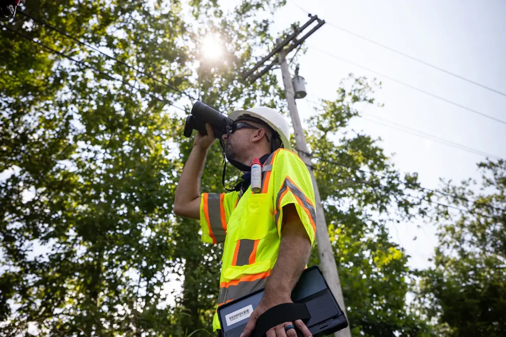
By sending experienced field professionals to physically verify what remote sensing and modeling tools are telling you, ground truthing transforms raw data into validated, actionable intelligence your program can rely on. ACRT provides field-verified ground truthing services that ensure the data driving your vegetation management decisions accurately reflects what’s actually happening on your system.
What ACRT’s Ground Truthing Service Delivers
Our experienced foresters and arborists bring the field expertise needed to evaluate LiDAR outputs, geospatial remote sensing data, and model results against actual conditions on the ground. They can identify discrepancies, fill data gaps, and validate the accuracy of the information your program depends on.
LiDAR and remote sensing validation. Our teams assess LiDAR and aerial data outputs against field conditions, confirming whether vegetation encroachment, hazard classifications, and clearance measurements align with what’s actually present along your lines. Where they don’t, we document the discrepancies and provide field-verified corrections.
Data gap identification and resolution. Remote sensing programs don’t capture everything. Our ground truthing teams identify conditions that sensors and models miss — access constraints, species-specific growth patterns, localized hazards, and site conditions that require field judgment to properly assess and classify.
Work prioritization validation. Ground truthing ensures that the work your program is prioritizing actually reflects the risk and urgency of your system. Misclassified data leads to misallocated resources; our field verification process gives you confidence that work is sequenced correctly and that high-priority hazards aren’t being underweighted by modeling assumptions.
Pilot program support and system-wide scaling. Whether you’re running a proof-of-concept pilot on a segment of your system or scaling a validated remote sensing program across your full territory, ACRT’s ground truthing teams provide the field verification infrastructure to make it work — consistently and at scale.
Why Independence Matters for Ground Truthing
Ground truthing is only as objective as the team performing it. When your field verification partner has ties to the data provider whose outputs they’re evaluating, the independence of that verification is compromised — even if unintentionally. ACRT has no affiliation with LiDAR vendors, remote sensing providers, or geospatial technology platforms. Our ground truthing teams evaluate data outputs without any stake in the results, giving you unbiased assessments you can use to make decisions, challenge vendor outputs, and improve program field performance with confidence.
When Ground Truthing Adds the Most Value
Ground truthing delivers the highest return in programs where:
- LiDAR or remote sensing data is being used to drive work planning or hazard prioritization for the first time
- Discrepancies between modeled outputs and field conditions have created program performance issues
- A new remote sensing vendor or technology platform is being evaluated or onboarded
- Circuit-level data accuracy is critical to regulatory compliance or wildfire mitigation planning
- Work volume or resource allocation decisions are being made based on model outputs rather than direct field inspection
For utilities already using ACRT’s Visualizer analytics platform or Utility Tree Manager workflow software, ground truthing data integrates directly into your existing performance monitoring workflows — strengthening the connection between field verification and program-level decision-making.